
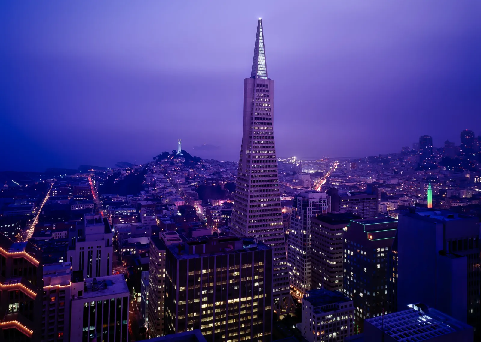

By the Traveller team · Updated September 2026
Search for a San Francisco walk and most of what comes up is a coastal hiking trail — Lands End, the Coastal Trail, the Crosstown Trail — real routes, but built for a half-day hike along the cliffs, not a tour of the city itself. The city core is a tighter, steeper walk: the Embarcadero, Chinatown, and North Beach sit close together near the bay, with the hills doing the work a longer trail would otherwise cover. Save the coastal trails for a trip built around them — this route stays inside the city.
Why walk San Francisco?
- The Embarcadero, Chinatown, and North Beach form a compact walk along and just above the waterfront, distinct from the city's longer coastal hiking trails.
- San Francisco's hills mean real elevation change packed into short distances — Telegraph Hill's climb rewards you with one of the best views in the city.
- Chinatown here is North America's oldest, and its alleys reward slow wandering more than a quick pass-through.
- The Golden Gate Bridge at sunset from Crissy Field or Fort Point is worth the walk out on its own.
A one-day itinerary
Morning
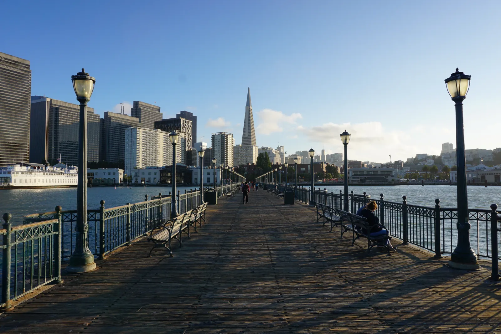
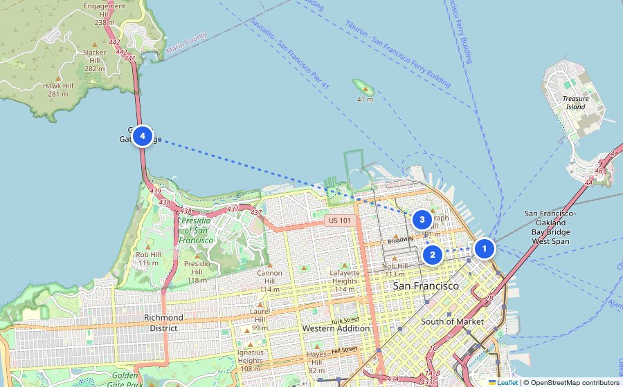
Ferry Building & the Embarcadero
Start at the waterfront marketplace, then follow the Embarcadero's palm-lined promenade with the bay on one side and the city's piers on the other.
Midday
Chinatown
Cut inland through the Dragon Gate into North America's oldest Chinatown — the alleys off the main strip are where it gets genuinely interesting.
Afternoon
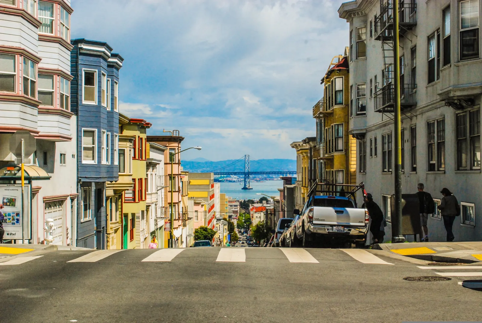
North Beach & Telegraph Hill
Walk north into the city's old Italian quarter, then climb Telegraph Hill to Coit Tower for a panoramic view over the bay and the piers below.
Evening
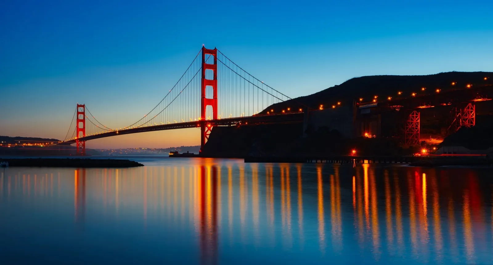
Golden Gate Bridge at sunset
Head west to Crissy Field or Fort Point for the classic low-angle view of the bridge — worth timing for the last light of the day.
Practical tips
- •San Francisco's hills are real — this route is genuinely more strenuous than its distance alone suggests, especially the Telegraph Hill climb.
- •The city's famous fog can roll in fast, even in summer — layers matter more here than the forecast alone suggests.
- •This route stays inside the city core — the Coastal Trail and Lands End are a separate, longer coastal hike if you want them.
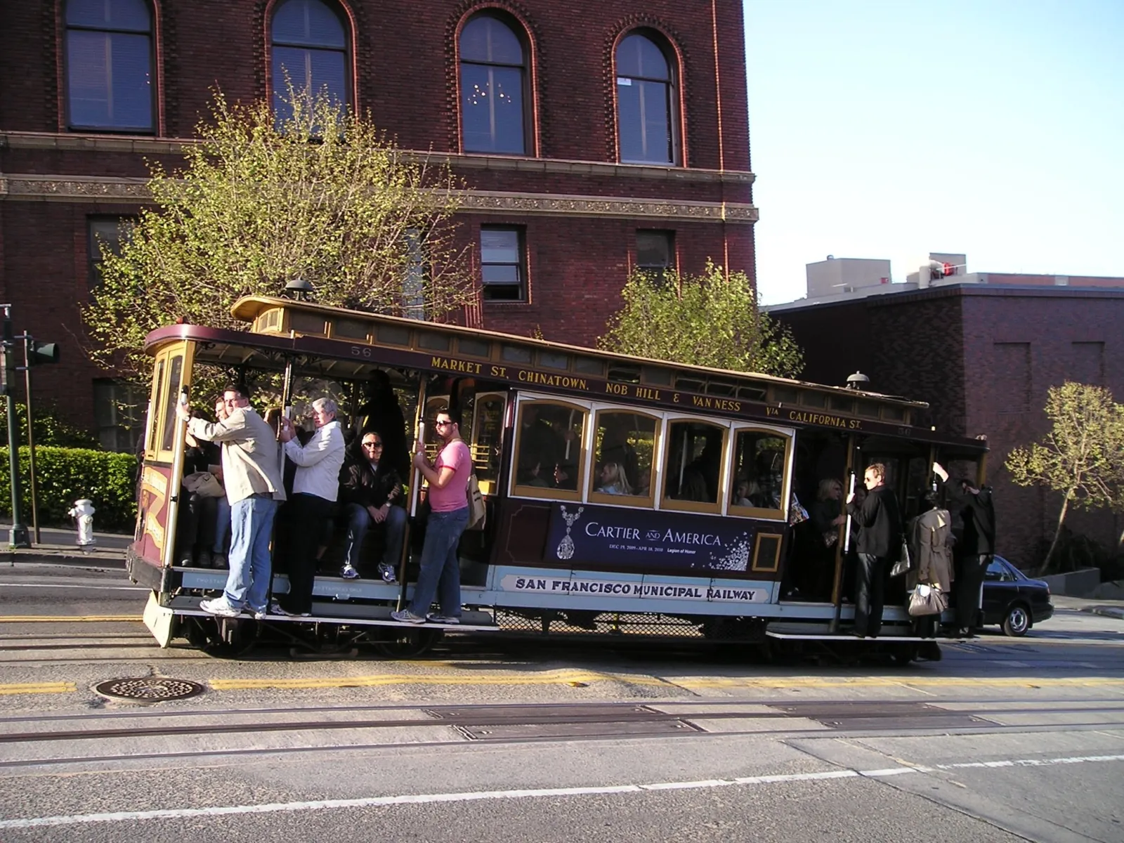
- •Cable cars and Muni buses cover most of this route if the hills or the distance catch up with you partway through.
Common questions
Can you walk San Francisco in a day?
The Embarcadero-Chinatown-North Beach-Golden Gate core, yes — the city's longer coastal trails are a separate hiking day, not part of this route.
Is San Francisco a walkable city?
The core neighborhoods are dense and walkable, but genuinely hilly — pace this route around the climbs rather than the flat-city assumption other guides on this site can make.
What's the best time of year to walk San Francisco?
September and October, San Francisco's real summer — the fog is lightest and the days are warmest, counterintuitively later than everywhere else on this site.
More general questions about Traveller? See the full FAQ →
Wondering whether a self-guided route, a paid tour, or AI planning is the right call for San Francisco? Compare the options →
Want this itinerary tuned to your exact day?
Traveller's AI builds a personalized route for San Francisco — your time window, budget, and vibe.
Create your free route →More city guides